
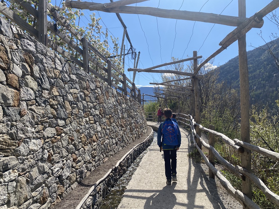
Have you ever heard of the Merano Water Trails? These are paths that run alongside the ancient irrigation canals of the farmlands: true masterpieces of rural ingenuity… an attraction both for the variety of landscapes and the interesting sights they offer, especially for children who love water. There are 11 different trails through villages, forests, and the countryside, totaling 84 kilometers in the Merano basin. And we’ve even added a few more a bit farther away, heading up into the Val Venosta!
The Merano Irrigation Channel Trails
Brandis Canal
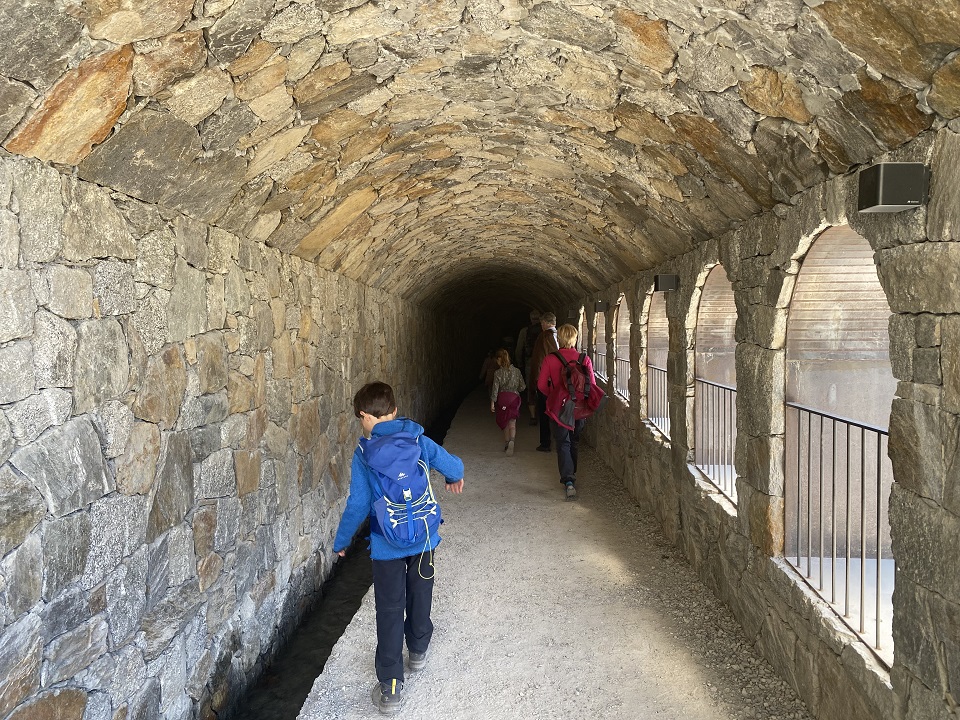
This route starts in Lana, which is about an hour’s drive from Trento. Follow the“BrandisWaalWeg,”the Brandis irrigation canal trail. The irrigation canal on this route runs underground, which means the trail is wider and therefore easily accessible even with a stroller! After an initial, sunnier stretch, the walk changes as it winds through the rock, crossing a few small wooden bridges. After a little less than an hour’s walk, you’ll reach the Waalrast. Continuing on for about ten more minutes, you’ll find yourself immersed in the cool gorge of the Brandis Stream, where the final surprise of this route awaits you: the beautiful Brandis Waterfall.
Lagundo Irrigation Canal
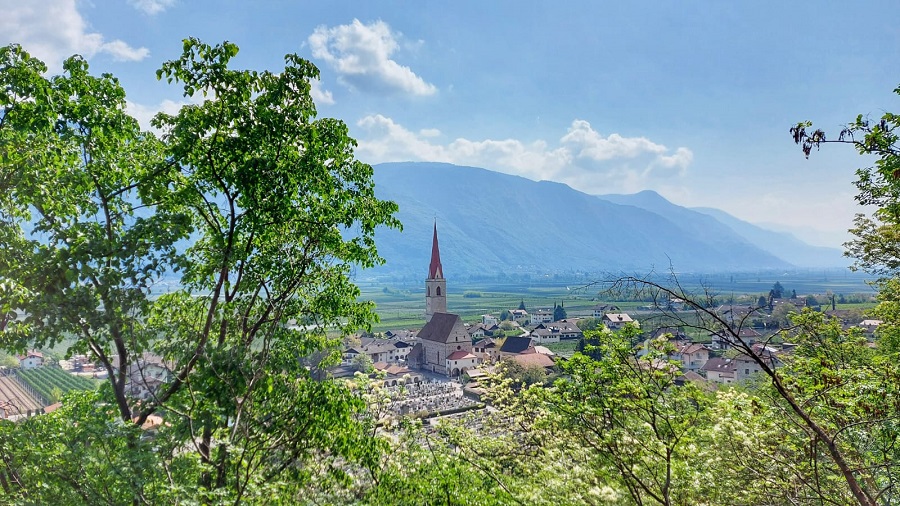
Another pleasant and easy hike along the irrigation ditches of Merano. Leave your car in the large, free parking lot in Plars di Sopra in Lagundo, where the Val Venosta bike path also passes. The route is about 6 kilometers long, mostly flat along an easy, well-trodden trail. In some sections, the terrain is a bit uneven, but it’s still passable even with a stroller. The first section winds through vineyards and apple orchards, then passes through a dense forest where imposing trees with large roots and a few hollowed-out rocks will capture the attention of the little ones. Read our itinerary “Along the Lagundo Irrigation Canal” here .
Parcines Irrigation Canal
From the center of Parcines, head east through the orchards and across the suspension bridge to the Winklerhof. From there, follow Trail No. 1 slightly uphill along the Zielbach stream to the hamlet of Salten and the entrance to the “Waalweg”—the Parcines irrigation canal trail. Continue to the end of the trail, where Trail No. 7A descends to Parcines via the hamlet of Vertigen. More info HERE.
Scena Irrigation Canal
This irrigation channel, which follows the ancient irrigation canals in the Merano area, is about ten kilometers long. You can park your car in the center of the village of Scena or just above it, then follow Via Ifinger and the signs for Taser Waalweg, which will lead you to the lower station of the Taser cable car. This first section is a steady climb, but it’s very picturesque and charming, winding through apple orchards and vineyards. Although quite challenging, this first part of the route is the only difficult section of the entire walk. 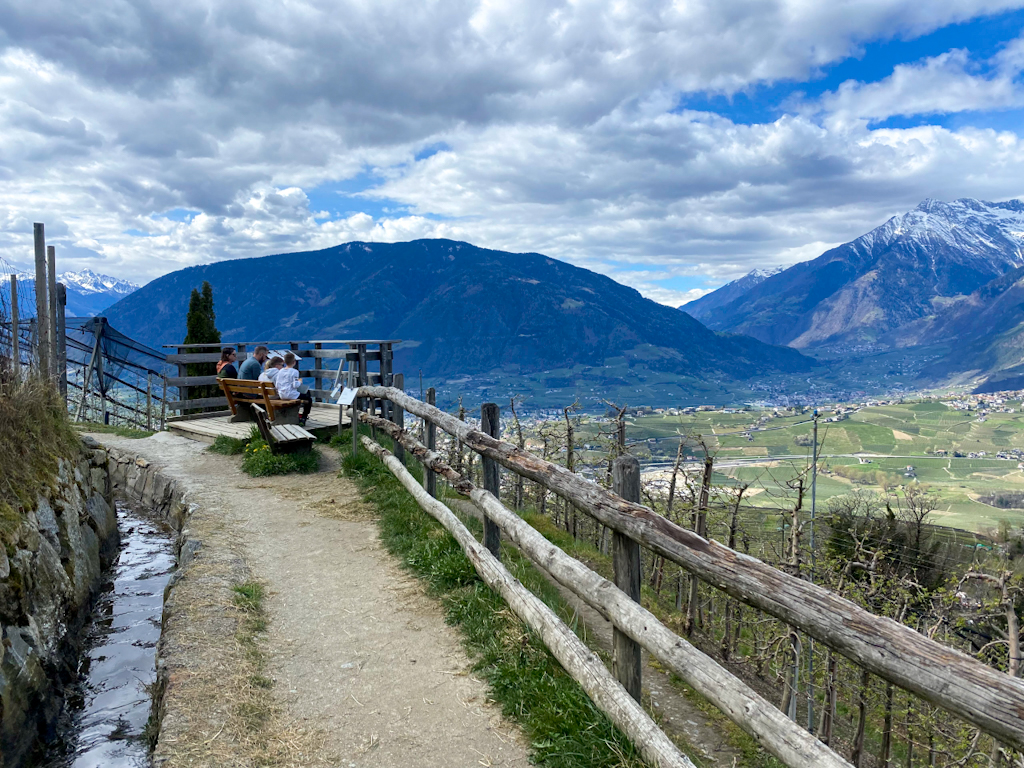
Once you reach the base of the cable car, an easy, flat trail begins, winding through a landscape that alternates between lush forests and verdant farm fields—and… the constant presence of the irrigation ditch, whose pleasant murmur will accompany us throughout our walk. Read: Merano, along the Scena irrigation canal
Marlengo Irrigation Canal
An easy hike that’s almost entirely flat and suitable even for strollers. Water takes center stage along this trail, which also features several picnic benches and places to stop for a bite to eat. But that’s not all: the interactive installations—water-themed, of course!—are also a big hit with kids! Our advice is to take advantage of the shoulder seasons to fully enjoy this spectacle of nature—and, in this case, of human ingenuity as well. All the info: The irrigation canal from Marlengo to Lana
Maia Canal
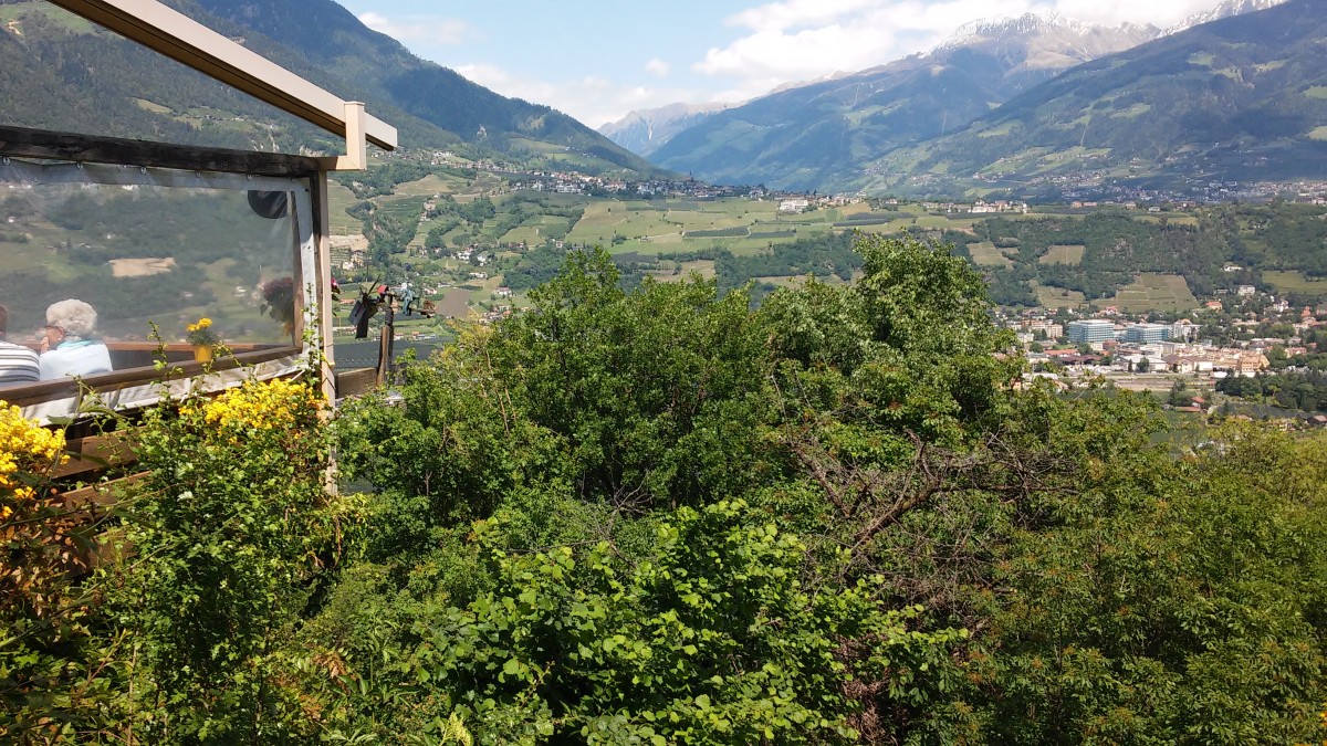
The hike begins at the Hirzer cable car parking lot in Saltusio and continues along the Passirio River, following the signs for the Maia Alta irrigation canal. The route is easy and almost entirely flat. You can return along the same trail, or you can descend to Rifiano and return along the path near the river. Alternatively, you can continue along the irrigation canal trail to Scena, Rifiano, or Merano.
Irrigation Canal Trails in Val Venosta
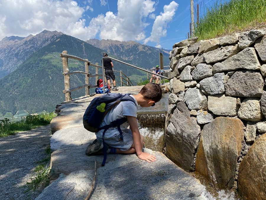
There are also about twenty irrigation ditch trails in Val Venosta. They are accessible year-round and offer stunning panoramic views. In short, these are easy hikes that aren’t too demanding and are therefore suitable for families as well.

Ciardes Irrigation Canal
The walk begins in the town center; we recommend parking your car above the fire station. In no time, you’ll reach the entrance to Irrigation Ditch Trail No. 3. From there, you’ll climb up to the Juval Castle, which houses one of mountaineer Messner’s museums. Descend from the castle along the road to the Sonnenhof, then continue along Trail No. 1 toward Stava. About halfway along the route, you’ll come to the Stava irrigation ditch trail, which leads you back toward the center of Ciardes. More info HERE.
Latschander Irrigation Canal
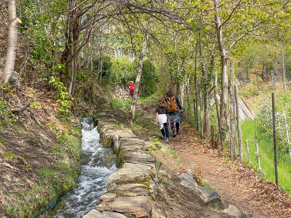
From the village of Laces, it takes about 20 minutes to reach the trailhead for the irrigation canal trail. The first section passes through the woods and takes you pastthe impressiveLaces Gorge. It then winds through meadows and vineyards all the way to Castelbello.
The Canals of Silandro and Lasa
Around Silandro and Lasa, you can explore some of the most fascinating and unique irrigation canal trails, such as the Corzes irrigation canal trail—also known as the Zaalwaal—the Köstenwaal and Ilswaal trails in Silandro , and the Neuwaal trail in Val Silandro. In Lasa, the ruins of the irrigation canal systems are worth seeing . More information HERE.
Sluderno Irrigation Canal
From the Venostano Museum, take Trail No. 18 toward Mount Calvario in the direction of “Ganglegg”: a moraine hill where archaeological excavations have uncovered a fortified settlement dating back to the Iron and Bronze Ages. Continue along the Roggia Leiten trail to the narrow gorge of the Saldura stream. After crossing the bridge, climb up the opposite slope and enter the Mazia Valley along the Roggia Berg trail to the Vernalhof farmstead. A short downhill stretch leads to Castel Coira and back to the Vinschgau Museum. The hike takes about 3 hours.
Around Merano: What to See Besides the Irrigation Canals
Did you enjoy the irrigation channel trails in Merano and the surrounding area? Of course, there are also plenty of other ways to spend a pleasant day with your family in the area—here are a few ideas.
- The Wurzeralm in Avelengo: for those looking for a hike to a mountain pasture
- Scenic Trail in Gargazzone
- Awesome Playground in Lagundo
- Avelengo: The Horse Trail: Dedicated to the Haflinger horse, this trail will take you on a journey to discover the secrets of this magnificent animal